
The area traditionally known as the Midlands of England consists of the East and West Midlands, independent modern statistical regions of England and constituencies of the European Parliament. The largest city in the Midlands is Birmingham in the West Midlands. The territory is low-lying and flat, with some isolated hills. The region was instrumental in the Industrial Revolution of the 18th and 19th centuries in England for its large amount of natural resources, such as coal and limestone. Coal was particularly important during the 18th, 19th, and early 20th centuries as it was the only, or predominant, source of power. What came to be known as the Black Country in the West Midlands played a crucial role in promoting and maintaining the Industrial Revolution[1]. Various parts of the Midlands, namely Warwickshire and Leicestershire, are occasionally referred to as the Heart of England because the geographic center of England lies within this area.
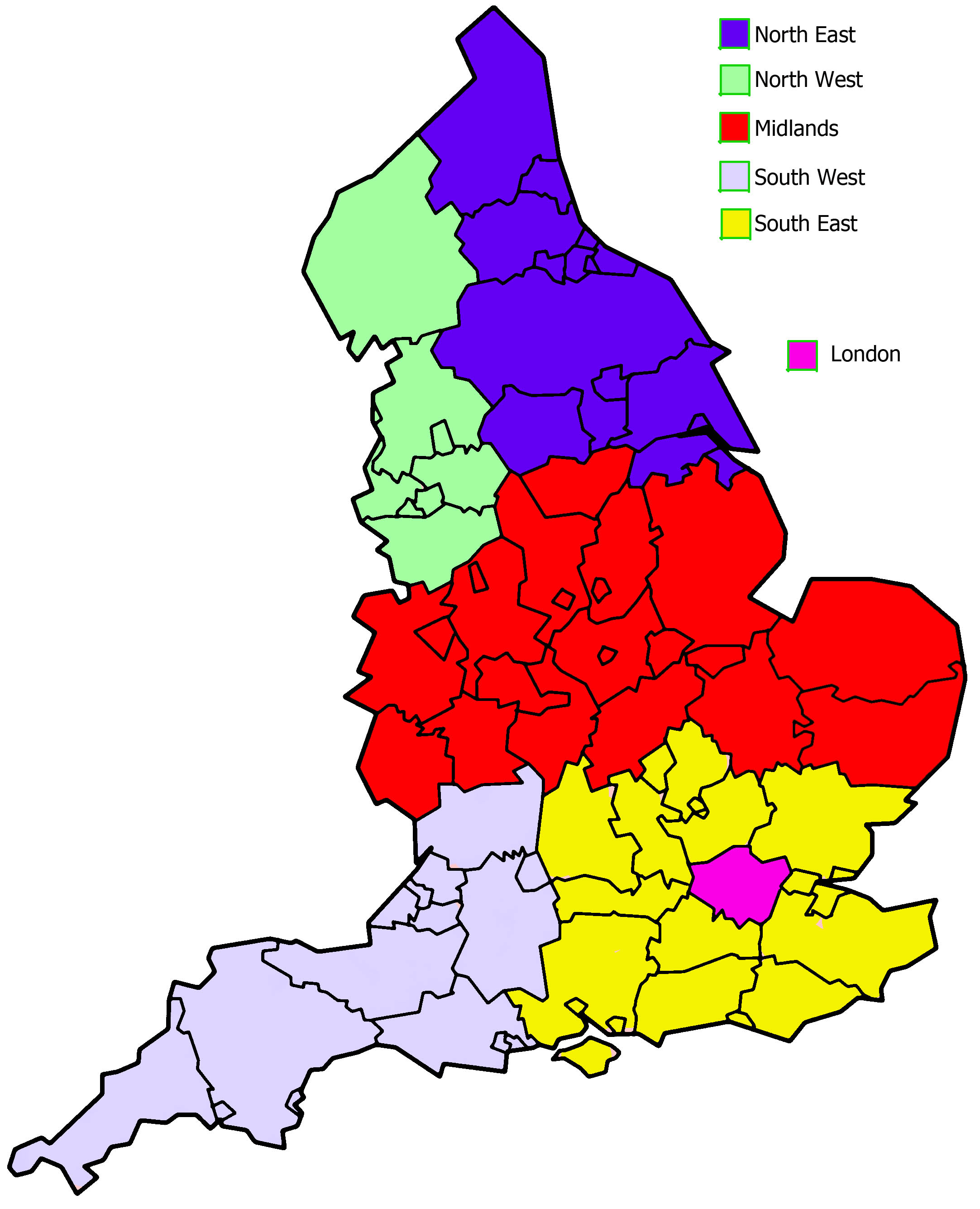
The East Midlands consists of the following counties: Derbyshire, Leicestershire, Lincolnshire (except North and East Lincolnshire), Northamptonshire, Nottinghamshire, and Rutland[2]. Principle urban centers in this area include Derby, Leicester, Lincoln, Northampton, and Nottingham[3]. The region is home to large quantities of limestone and the East Midlands Oil Province. The East Midlands still exudes industry. Not only is the area home of the world’s first factory (Sir Richard Arkwright’s Cromford Mill) and the location of the first steel rails ever laid for the Derby railway station in 1857 and the site of the first tank (built in 1915), but it is also home to the world’s oldest working factory (a textile factory at Lea Bridge). Furthermore, 25% of the United Kingdom’s cement is manufactured in the East Midlands at three large sites in Hope and Tunstead in Derbyshire, and in Ketton Cement Works in Rutland.


The counties of Herefordshire, Shropshire, Stafforshire, Warwickshire, West Midlands, and Worcestershire compose the West Midlands[4]. The territory is home to Birmingham, the most populous city in the Midlands and the second-most populous city in the United Kingdom, and the Black Country. Much of the Industrial Revolution in the United Kingdom began in Birmingham and the Black Country. Two reasons for this are: the longest river in the United Kingdom, River Severn, traverses the region southeastwards, flowing through the county towns of Shrewsbury and Worcestershire, and the Ironbridge Gorge, a UNESCO World Heritage site, is also located in the West Midlands[5]. The Black Country may be considered the world’s first industrial landscape, while the nearby Ironbridge Gorge claims to be the birthplace of industry. The region also encompasses five Areas of Outstanding Natural Beauty: the Wye Valley, Shropshire Hills, Cannock Chase, Malvern Hills, and parts of the Cotswolds. Finally, Warwickshire of the West Midlands is home to the town of Stratford upon Avon, the birthplace of William Shakespeare.
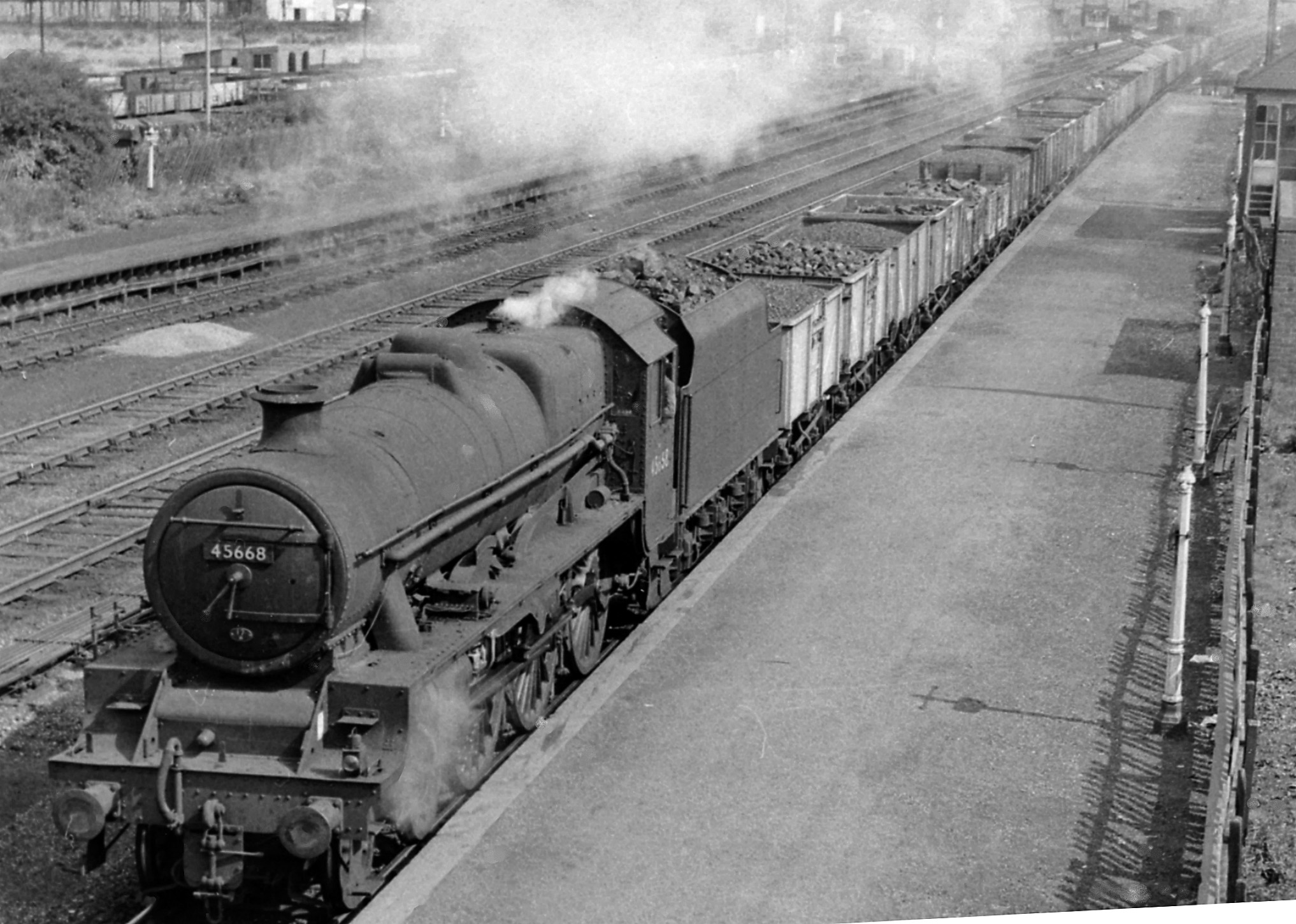

The Black Country was the basis for industrial development in the Midlands, especially the West Midlands. The term commonly refers to all, or parts, of the four Metropolitan Boroughs of Dudley, Sandwell, Walsall, and Wolverhampton[6]. During the Industrial Revolution, the Black Country became one of the most industrialized parts of Britain with coal mines (or collieries), coking, iron foundries, glass factories, brickworks, and steel mills. The name “Black Country” is believed to come from the soot from the heavy industries that covered the area, although the 30-foot thick coal seam close to the surface is another possibility. There were as many as 500-600 small pits for mining purposes in the Black Country alone. By Victorian times, the Black Country became known for its pollution, particularly from iron and coal industries and their many associated smaller businesses. This led to an expansion of local railways and coal mine lines[7]. Lastly, a broken ridge separates this area into two regions and forms part of a major watershed of England, promoting transportation of both workers and resources[8].
